- Lots of WNW/NW swell as Northern Atlantic’s locked in an active storm pattern
- UK and Ireland mostly stormy and onshore: windows of good conditions at select spots
- Portugal’s the real winner — week-plus of solid-to-XL surf, good conditions
Winter’s about to boot into overdrive for parts of Europe. We’ve already seen stormy conditions the past few days, but another run of big swell is now starting to fill in and looks to stay that way for the next couple of weeks.
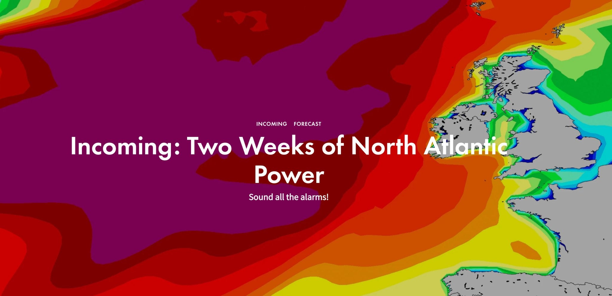
The North Atlantic’s weather pattern flipped to a zonal, west-to-east storm pattern last week, driven by a strong jet stream pushing off North America, and shows no signs of letting up anytime soon.

When Storm Isha came to town last weekend. This has been much the story for south west UK recently. Windy, kinda funky sheltered spots with more Dry Robes around than you can possibly imagine! Photo: Tom Vaughan
Now the British Isles are in the direct path of the storms with high pressure set up to the south over the continent. We’ve seen the results as Storm Isha and Storm Jocelyn brought big surf and destructive wind to the UK and Ireland earlier this week — it was Isha that sent XL swell for Monday’s big wave event at Nazare, too.
Look for more of the same over the next week-to-ten days as this pattern carries on. Pressure remains low near Iceland with storms parading off North America as high-pressure stretches from the continent to the Azores. This is a recipe for solid surf and good conditions in Western Europe but always more wind-affected conditions for the UK and Ireland, especially the further north you are. Not a write-off for the British Isles: watch out for the odd day of favourable conditions as weather fronts move through and high pressure tries it’s best to nose northwards out of the continent. It won’t be widespread or last long, but there will be sessions in between the wind.
With high-pressure locked in across the Iberian Peninsula regions further south will see favourable wind throughout. Portugal is the clear standout during the run. Solid to XL-sized swells reinforce and overlap each other with light winds and sunny skies.
Swell reaches down into Northern Africa and Macronesia as well but the distance travelled helps limit the size somewhat, still there will be some solid surf at standout breaks.The surf and swell will ebb and flow the next week or so, but generally, the more exposed breaks from Scotland to the Canaries are in for a run of overhead to double-overhead surf, so be sure to follow your local forecast for more details.
The pattern is expected to shift after the first week of February — we’ll keep updating this article as the swell plays out over the next week or so. Keep it bookmarked!
Find out more and see live forecast at Surfline.com